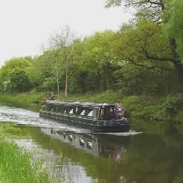
The Forth and Clyde Canal is a canal opened in 1790, crossing central Scotland; it provided a route for the seagoing vessels of the day between the Firth of Forth and the Firth of Clyde at the narrowest part of the Scottish Lowlands. This allowed navigation from Edinburgh on the east coast to the port of Glasgow on the west coast. The canal is 35 miles (56 km) long and it runs from the River Carron at Grangemouth to the River Clyde at Bowling, and had an important basin at Port Dundas in Glasgow.
Successful in its day, it suffered as the seagoing vessels were built larger and could no longer pass through. The railway age further impaired the success of the canal, and in the 1930s decline had ended in dormancy. The final decision to close the canal in the early 1960s was made due to maintenance costs of bridges crossing the canal exceeding the revenues it brought in. However, subsidies to the rail network were also a cause for its decline and the closure ended the movement of the east-coast Forth River fishing fleets across the country to fish the Irish Sea. The lack of political and financial foresight also removed a historical recreational waterway and potential future revenue generator to the town of Grangemouth. Unlike the majority of major canals the route through Grangemouth was drained and backfilled before 1967 to create a new carriageway for port traffic.
The M8 motorway in the eastern approaches to Glasgow took over some of the alignment of the canal, but more recent ideas have regenerated the utility of the canal for leisure use.
More From This Day